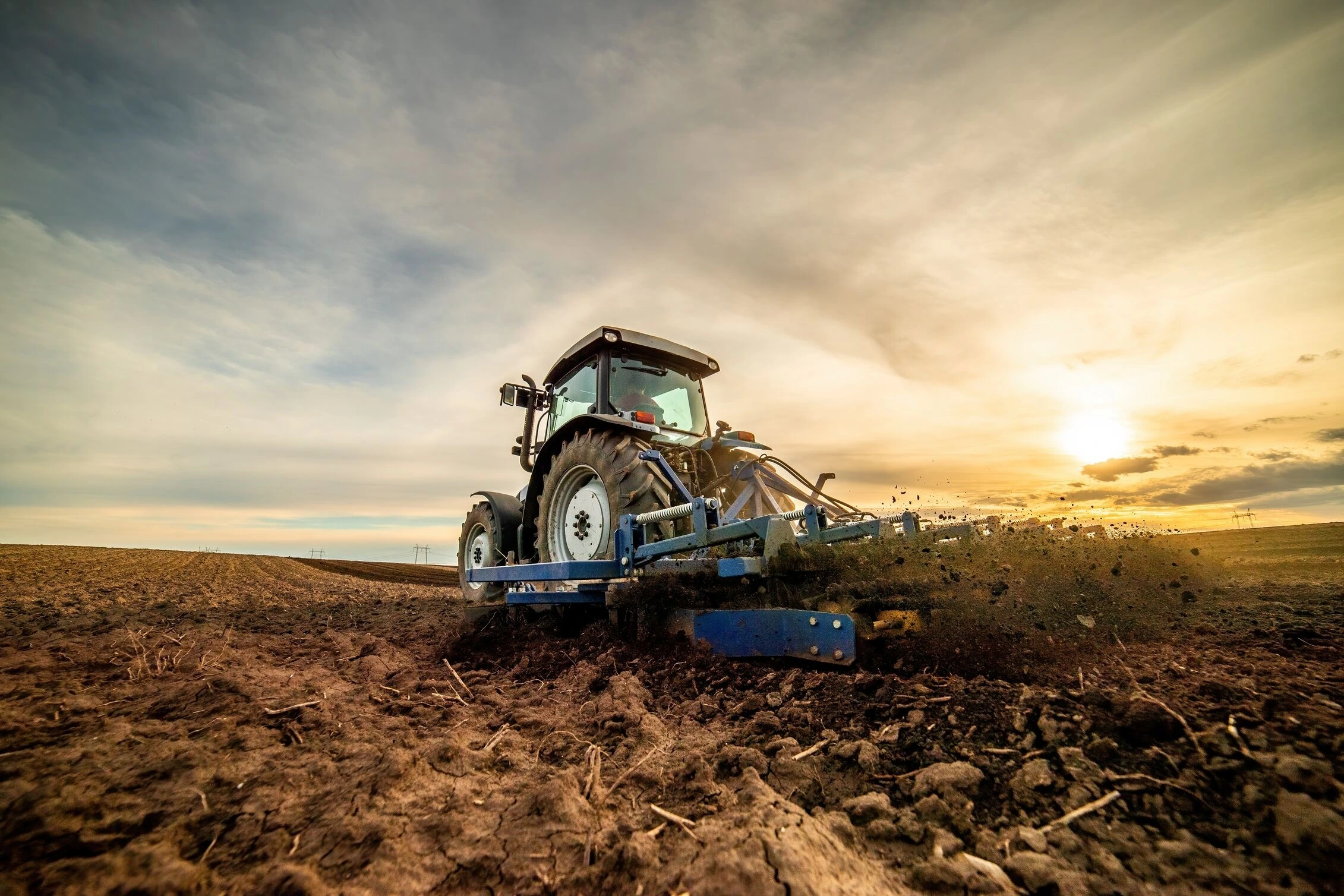
Overview
This service provides testing and experimentation support for satellite-based models aimed at yield estimation and pre-harvest assessments. By leveraging remote sensing data, clients can develop and validate models that predict agricultural outputs, enhancing decision-making processes in arable farming. This service is ideal for clients seeking to integrate precision agriculture techniques using satellite imagery to optimise crop management and planning.
More about the service
How can the service help you?
The service helps agricultural technology developers create accurate yield estimation models based on satellite imagery, supporting proactive decision-making in crop management. By validating model performance, clients gain insights into pre-harvest conditions, helping them better allocate resources and improve yield predictions.
How the service will be delivered
The service is provided in Spain, where satellite data is used to test and validate yield estimation models. Outputs include collected satellite data, performance metrics, and a detailed report of model accuracy. Customers should have predefined model objectives and metrics for yield estimation to ensure alignment with the service.
Service customisation
Customisable options include the selection of specific satellite data types and the frequency of data collection. Clients can also request specific pre-harvest metrics for evaluation. Satellite data availability may vary depending on climatic or regional conditions.
Sector
Arable farming
Test type
Data
Design / Documentation
Type of service
Collection of test data
Data analysis
Provision of datasets
Test design
Test execution
Test setup
Country of delivery
Country of delivery:

Service provider(s):
-
University of Cordoba (UCO)
| Website