Purpose & Scope
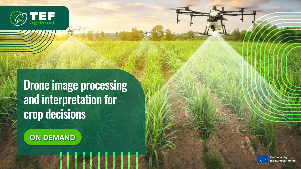
This on-demand training provides a hands-on introduction to processing drone imagery using tools such as Pix4D, Agisoft Metashape and WebODM.
Participants learn how to import, calibrate and process RGB and multispectral datasets, generate orthophotos and vegetation indices (NDVI, NDRE), and translate these outputs into crop treatment recommendations.
The training also covers radiometric calibration, ground control points (GCPs), and the use of reflectance panels.
If you want to get more information about the training, please get in touch with Marijke.hunninck@ilvo.vlaanderen.be
Learning objectives
By the end of the training, participants will be able to:
- Import, calibrate and process RGB and multispectral datasets in Pix4D or WebODM.
- Generate orthophotos and vegetation index layers.
- Translate drone imagery into practical crop treatment recommendations.
Learning outcomes
Participants completing this training will be able to:
- Create orthomosaics and NDVI maps from RGB and multispectral data.
- Identify stressed field areas and export prescription maps (taakkaarten).
- Interpret index values in relation to biomass and chlorophyll levels.
Who should attend?
Drone service providers, crop advisors, farm data specialists, and professionals working with drone-based crop monitoring and decision-making.
AI implementation
Software / AI model