Overview
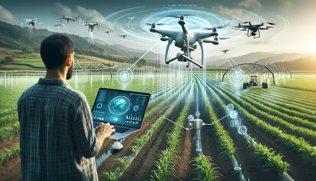
We provide general-purpose datasets that can be used by customers to evaluate mobility algorithms and to develop and assess general-purpose AI applications. In the context of mobility algorithms, this pertains to classical robotics tasks such as mapping, localisation, and SLAM (Simultaneous Localisation and Mapping). Meanwhile, general-purpose AI applications focus on advancing algorithms and feeding decision support systems (DSS) for tasks including, but not limited to, weed detection, health monitoring, growth and maturity assessment, and yield estimation in areas such as arable farming, horticulture, food processing, forestry, and tree management. A significant challenge in developing AI solutions for agricultural robotics lies in the dynamic nature of agricultural environments, which fluctuate with different seasons and weather conditions. To address this, acquiring consistent and periodic data is essential for effectively monitoring these changes. This real-time data collection, often facilitated by aerial robots, is crucial for developing efficient algorithms and AI solutions. Such datasets can support customers in the development of sensor-specific techniques or be leveraged to create multisensory algorithms, enabling more accurate and adaptable systems for agricultural applications.
More about the service
How can the service help you?
How the service will be delivered
Service customisation
-
National Institute for Research in Digital Science and Technology (INRIA)
| Website
