Overview
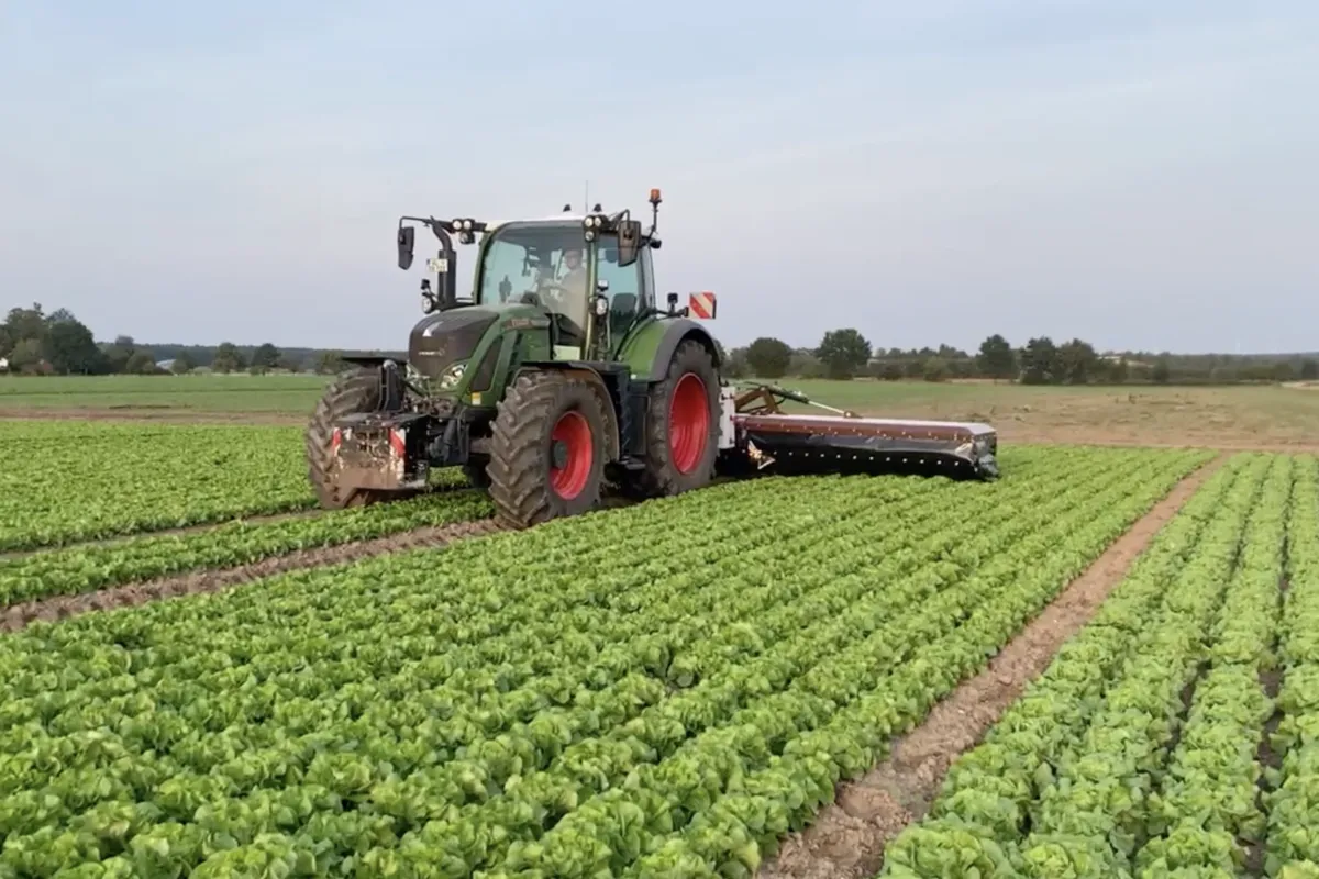
This service measures spatial variability in crops and plots through nearby and remote sensors, including electromagnetic probes, yield monitors, drones, and satellites. The data collected allows for the generation of zoning information and the validation of predictive models and digital agriculture systems, such as variable input distribution tools. By integrating environmental data, the service provides essential insights to improve decision support systems and optimize resource allocation in precision agriculture.
