Overview
We offer hands-on expertise in validating navigation algorithms deployed on physical ground robots in agricultural environments. The service includes the use of Simultaneous Localisation and Mapping (SLAM) techniques and terrain classification to enable accurate autonomous navigation. Robots are guided to distinguish between user-defined accessible and non-accessible zones, helping prevent damage to crops and ensuring adherence to safe paths. Our support focuses on real-environment testing, operational validation, and practical advice for improving system performance in the field.
More about the service
How can the service help you?
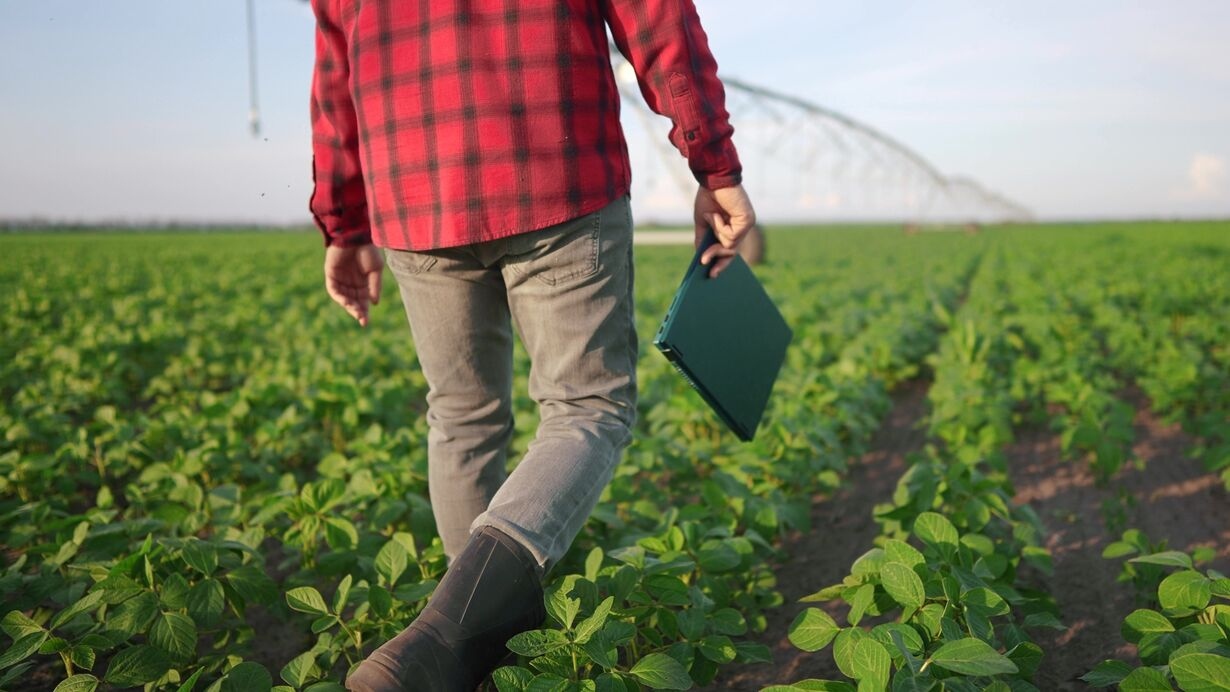
This service empowers customers to deploy ground robots in active agricultural environments such as crop fields and livestock farms, ensuring robots remain strictly within safe, designated areas far from animals and never approach livestock. Through real-world validation and optimisation, robots are enhanced to operate autonomously, adapt to complex terrains, and perform specific tasks more effectively, leading to greater productivity and environmental protection.
How the service will be delivered
We provide expert support for integrating navigation algorithms with physical robots equipped with SLAM systems and mapping sensors. Using the University of Naples Federico II’s research infrastructure, we guide real-world deployments in greenhouses, open fields, and farms. Testing includes on-site pilot evaluations, where robots are restricted to animal-free areas to ensure safety. We assist in identifying and correcting navigation issues and provide continuous feedback to improve robustness and functionality in real agricultural contexts.
Service customisation
The service is highly customisable. We employ advanced methodologies to adapt navigation algorithms to specific crop types, field and farm layouts, and structured or unstructured environmental conditions. Users can tailor the definition of accessible areas according to farming practices or crop protection requirements, and tuning parameters can be adjusted based on area size, terrain type, and robot capabilities to improve navigation accuracy.
Sector
Arable farming
Horticulture
Test type
Data
Design / Documentation
Physical system
Software or AI model
Type of service
Collection of test data
Data analysis
Data augmentation
Performance evaluation
Test execution
Test setup
Country of delivery
Country of delivery:

Service provider(s):
-
Università degli Studi di Napoli (UNINA)
| Website