Overview
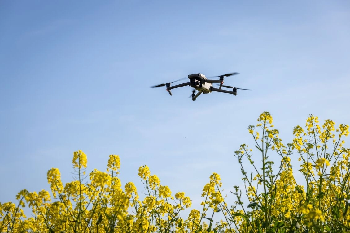
Our Agri Drone Flight Operation service offers precision drone flights designed to collect essential data for agricultural analysis, whether for crop monitoring, land surveying, or environmental assessments. These flights utilise RGB, multispectral, hyperspectral, and thermal sensors to capture data. The data is collected with aims to help agribusinesses optimise resource management, detect crop health issues, pest management, and make informed decisions. Whether you need to test drone-integrated sensors, gather aerial imagery, or explore new analytics, this service provides a flexible and tailored approach to meet the specific needs of your operation. Customers will receive detailed data, advice, and insights that can be applied to enhance productivity, reduce costs, and support sustainable farming practices.
More about the service
How can the service help you?
How the service will be delivered
Service customisation
-
Instituut voor Landbouw-, Visserij- en Voedingsonderzoek (ILVO)
| Website