

Image

Evaluation of the functionality of crop classification at parcel scale based on satellite remote images through a platform specialised in agricultural crop management.
Interested in this service? Contact us at fmarquez@uco.es
The functionality of crop classification at the parcel level will be assessed using satellite imagery through a platform specialised in agricultural crop management. To evaluate quality, CAP data from prior agricultural seasons will be utilised. This validation process will be applied in Andalusia, Spain, with a focus on the region's agroclimatic conditions and crop phenology.
 Arable farming
 Horticulture
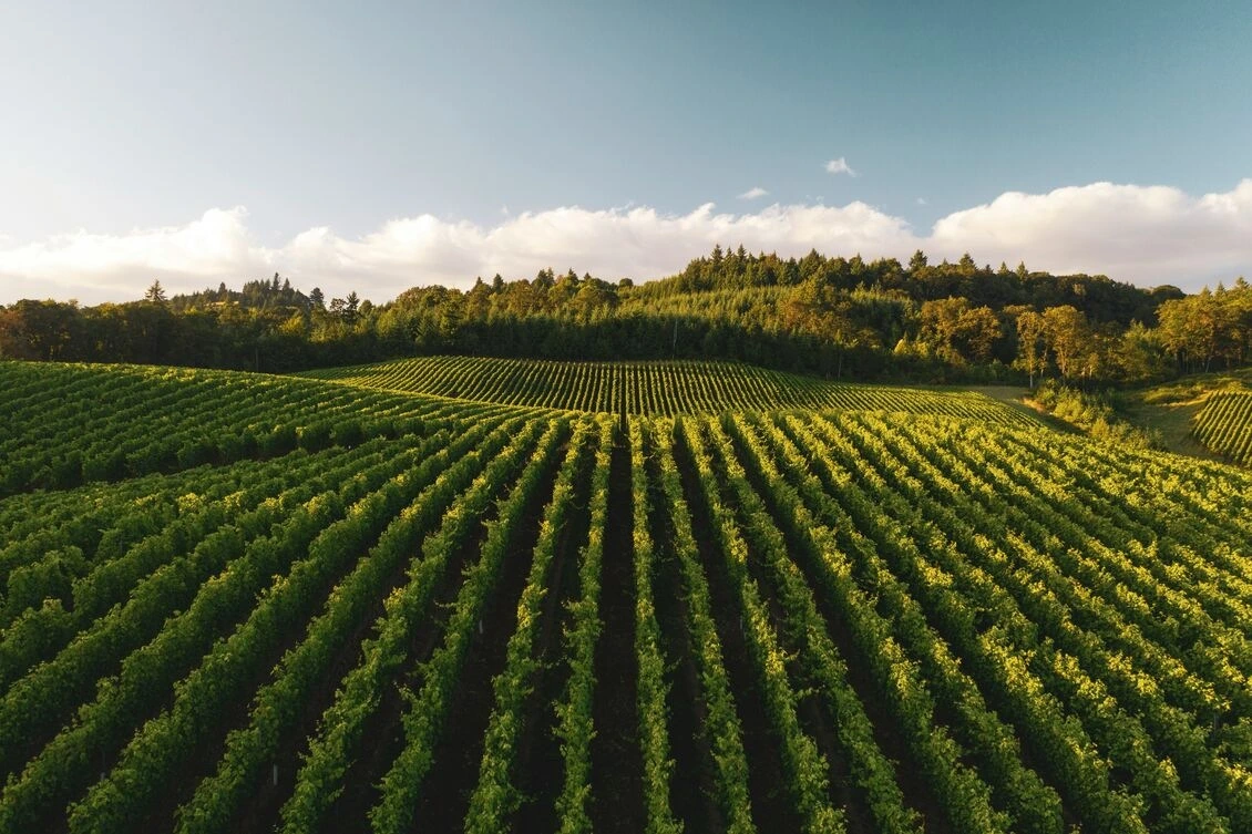
 Viticulture
The service on this page can be combined with one or more of these services to provide a complete package tailored to the needs of each individual customer.


