Overview
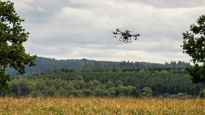
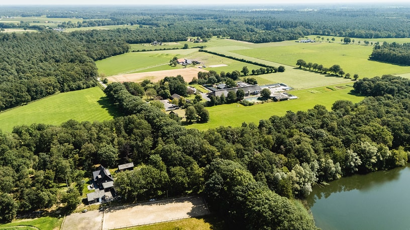
The evaluation process will encompass a comprehensive analysis of the entire parcel, concentrating on areas where the irrigation system distributes water. Zones with an NDVI below a specific threshold, identified via satellite imagery, will be highlighted. To obtain more granular data, drone flights equipped with LiDAR technology will be conducted, revealing areas of vegetation stress that may not be adequately detected by satellite imagery. The results from both systems will then be cross-referenced to assess irrigation efficiency accurately
More about the service
How can the service help you?
How the service will be delivered
Service customisation
- University of Cordoba (UCO) | Website
