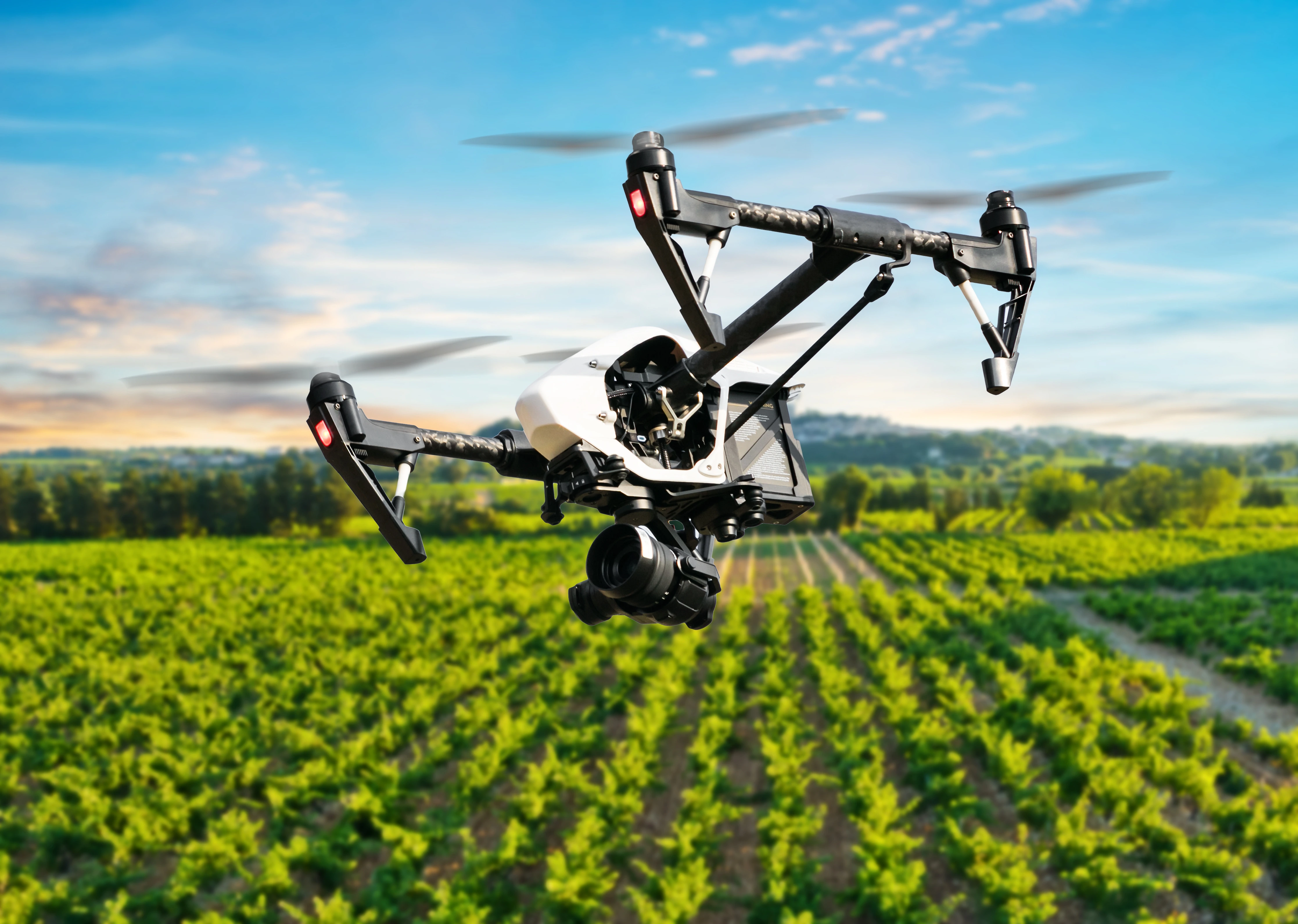
Overview
The service specialises in designing test models of irrigation strategies using UAV thermal infrared imagery combined with remote sensing technology. These innovative models ensure accurate, metrologically valid monitoring of various crops and vegetation through image acquisition at different wavelengths. They provide critical insights for optimising irrigation practices by analysing the effects of factors like soil moisture, crop type, and weather conditions on plant health and water requirements.
More about the service
How can the service help you?
The service can help you by providing advanced test models of irrigation strategies based on UAV thermal infrared imagery and remote sensing technology. This enables you to monitor crop health and water needs with high accuracy, optimising irrigation practices by considering factors like soil moisture, crop type, and weather conditions. This approach helps improve water efficiency and ensures healthier plants.
How the service will be delivered
The service will be delivered by designing an appropriate test model for the specific irrigation strategy leveraging the use of UAVs equipped with thermal infrared imagery and remote sensing technology to capture detailed data on crop and vegetation health.
Service customisation
Tailored Irrigation Strategies: The service customises test models for irrigation strategies based on the specific needs of the crops, soil conditions, and local weather patterns.
Each model is designed to optimise water usage and address the unique challenges of the agricultural environment.
Flexible Monitoring Parameters: Customisation can take into account a variety of vegetation parameters through UAV thermal infrared imagery, enabling the service to focus on the specific factors that most impact your crops, such as soil moisture or plant health.
Adaptation to Local Conditions: The service can be adjusted to suit different geographical areas and agricultural practices, taking into account regional climate variations, crop types, and the specific water requirements of your operations.
Scalability: The service can be scaled to suit both small and large agricultural operations, ensuring that it can be effectively applied across various farm sizes, from individual fields to extensive agricultural enterprises.
Sector
Arable farming
Food processing
Greenhouse
Horticulture
Test type
Data
Design / Documentation
Software or AI model
Type of service
Certification
Collection of test data
Conformity assessment
Data analysis
Performance evaluation
Test execution
Country of delivery
Country of delivery:

Service provider(s):
-
Università degli Studi di Napoli (UNINA)
| Website